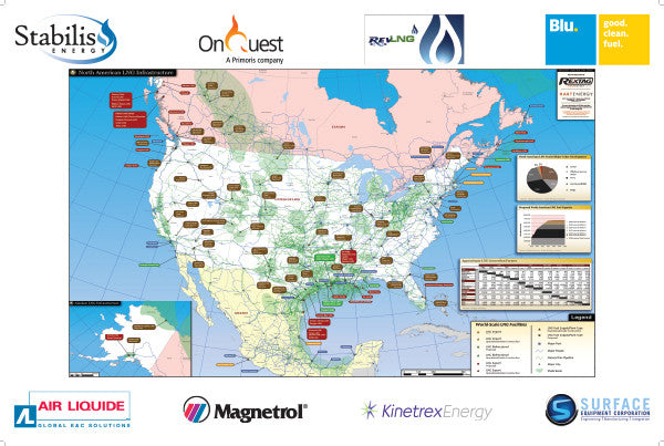
North American LNG Infrastructure Map
Detailed visualization of the LNG proposed and operational/under construction facilities (import, bidirectional, export and fuel supply/plant), major port, major roads, natural gas pipelines, major city and shale basin. Includes the North American LNG-fueled ships chart and proposed LNG fuel capacity projection, along with the LNG conversions factors chart.
Updated 2017
Map Features:
- Full-color Wall Map 24" x 36"
-
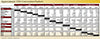
North American LNG-Fueled Ships Under Development:
Tanker, Offshore Service Vessel, Ferry, Container/RORO and Barge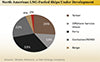
-
Proposed North American LNG Fuel Capacity:
Gallons Per Day projection through year 2020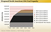
-
Approximate LNG Conversion Factors:
- LNG (Metric tons, Cubic meters, Gallons, Cubit Feet and Barrels)
- Gas (Mcf, Bcf, Cubic Meters and Cubic feet)
- Mass LNG (Pounds)
- Energy (MMBtu and Therm)
- Fuel Equivalents (BOE, DGE and GGE)


Map Visualization – World-Scale LNG Facilities:
-
Major Port and Major Roads

-
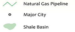
Natural Gas Pipelines, Major City and Shale Basin
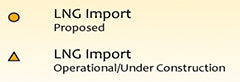
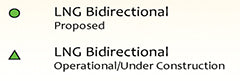
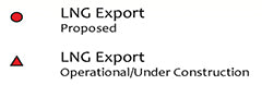
- Proposed and Operational/Under Construction:
- LNG Import
- LNG Bidirectional
- LNG Export
- LNG Fuel Supply/Plant Type