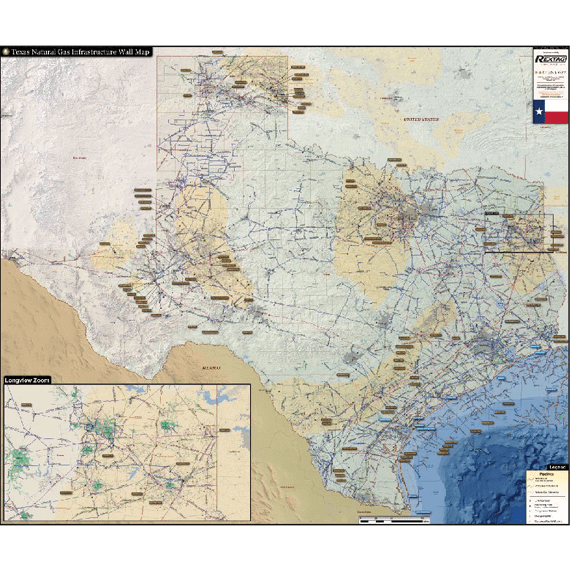
Texas Gas Infrastructure Map
The Texas Gas Infrastructure Wall Map contains the country’s largest natural gas infrastructure network, making Texas one of the most crucial states in the planning of gas transmission and processing. The Texas Gas Infrastructure Wall Map captures an incredible amount of data and displays it with unmatched clarity.
The Texas Gas Infrastructure Wall Map contains the following features:
- Natural Gas Pipelines (labeled and color coded by operator)
- Proposed Gas Pipelines
- Gas Gathering Pipelines
- Gas processing plants (major plants are labeled with name and capacity
- GLNG Facilities (labeled with name)
- Gas storage facilities
- Compressor stations
- Horizontal Wells (drilled/permitted after 2012)
- Detailed insert of the Longview, TX natural gas hub
The Small size (24"x34") is specially designed to fit a cubical wall. Last updated in 2018.
