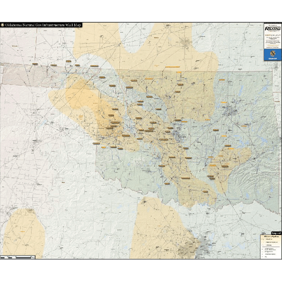
Oklahoma Natural Gas Infrastructure Wall Map
With Hart Energy's unmatched GIS infrastructure data, the Oklahoma Natural Gas Infrastructure Wall Map provides the most accurate picture of the vast amount of gas pipelines and facilities in Oklahoma in a simple and easy to read format.
The Oklahoma Natural Gas Infrastructure Wall Map contains the following features (42" x 50"):
- Natural Gas Pipelines (color coded and labeled)
- Proposed Pipelines
- Gathering and Distribution Pipelines
- Gas Processing Plants (major plants are labeled with name and capacity)
- Gas Storage Facilities (selected facilities labeled with name and capacity)
- Compressor Stations
Last updated 2017
