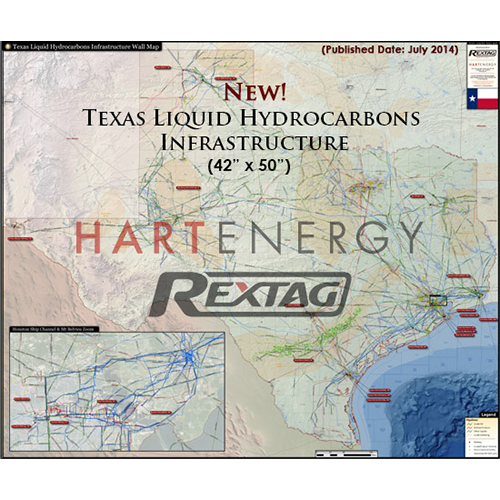
Texas Liquid Hydrocarbons Infrastructure Map
In addition to being beautifully rendered, the Texas Liquid Hydrocarbons Infrastructure Map is the most comprehensive and comprehensible map for the State of Texas’ hydrocarbon industry. That makes it an essential tool for the energy industry professional!


Without compromising quality, the team of cartographers at Hart Energy has designed a brilliantly colorful wall map, which contains the most data in the simplest format than any other wall map in the market.
The Texas Liquid Hydrocarbons Infrastructure Map contains the following features:
-
Crude Oil Pipelines (Labeled With Diameters)
-
Refined Products Pipelines (Labeled With Names and Diameters)
-
Other Liquids (Labeled With Names and Diameters)
-
Crude Gathering Pipelines
-
Refineries (Labeled With Names and Capacities)
-
Petrochemical Facilities
-
Horizontal Oil Wells

In addition, the wall map includes an inset for a better view of one of the major trade places for oil and gas: the area of Houston Ship Channel and Mt. Belvieu.
The map is printed on high quality gloss-photo paper, which adds to its stunning, beautiful rendering!
-
Each pipeline system is individually labeled and color coded
-
All sites are represented through a series of easy to identify symbols throughout the map
-
The large 50” X 42” print-format allows for greater detail

