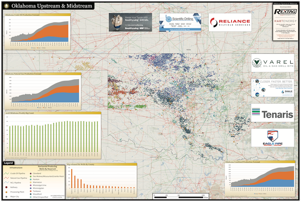
Oklahoma Map: Upstream and Midstream
This Oklahoma wall map highlights the great surge of horizontal drilling that has taken place in Oklahoma, focusing on the SCOOP (South-Central Oklahoma Oil Province) and the STACK (Sooner Trend Anadarko Basin, Canadian and Kingfisher counties) plays. The extensive crude oil, natural gas and NGL pipeline networks, gas processing plants and compressor stations are pinpointed throughout the Sooner State.
Map dimensions are 24"x36"
